

Before and after the 2019-20 fires: ALA data showcase
Posted on 10 December, 2020 by Jacqui
The Atlas of Living Australia (ALA) is a collaborative, shared, digital infrastructure that pulls together Australian biodiversity data from multiple sources, making it accessible and usable. Connecting Country’s biodiversity monitoring programs deliver data to the ALA, via the Victorian Biodiversity Atlas (VBA). We use the ALA to keep and identify records of key native species in our region. The ALA helps create a detailed picture of Australia’s biodiversity for scientists, policy makers, environmental planners, land managers, industry and the general public.
The ALA has been busy building an impressive national dataset for all areas of Australia affected by the 2019-20 bushfire season. This dataset is now accessible. You can use the ALA to search for animal and plant species that may have been affected by the 2019-20 bushfires by mapping occurrence records logged in those areas, both before and after the fires.
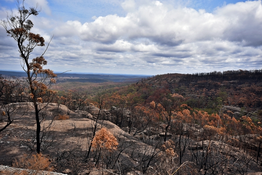
The 2019-20 bushfires were some of the largest and most intense in living memory (photo: University of New South Wales Environment Recovery Project)
We have provided the following overview of this dataset, courtesy of the ALA website.
For ALA’s fact sheet on how to use the dataset – click here
To access the data via an interactive map – click here
How to use the bushfire extent data in the ALA
For more information on how to use this data in the ALA, read our help article on Using the National Indicative Aggregated Fire Extent Dataset 2019-20 in the ALA – click here
The National Indicative Aggregated Fire Extent Dataset
The National Indicative Aggregated Fire Extent Dataset was developed by the Australian Department of Agriculture, Water and the Environment (DAWE) to help quantify the potential impacts of the 2019-20 bushfires on wildlife, plants and ecological communities, and identify appropriate response and recovery actions.
The dataset is a reliable, agreed, fit-for-purpose and repeatable national dataset of burnt areas across Australia for the 2019-20 bushfire season.
The National Indicative Aggregated Fire Extent Dataset includes:
- Data from the national Emergency Management Spatial Information Network Australia (EMSINA) data service, which is the official fire extent currently used by the Australian Government, and
- Supplementary data from other sources to form a cumulative national view of fire extent from 1 July 2019 to the 21 April 2020, these sources include NSW Rural Fire Service, Northern Australian Fire Information (NAFI), QLD Fire and Emergency Service, QLD Department of Environment and Science, SA Country Fire Service, SA Department for Environment and Water, Tasmanian Fire Service, TAS Department of Primary Industry, Parks, Water and Environment, VIC Department of Environment, Land, Water and Planning, WA Department of Biodiversity, Conservation and Attractions.
The dataset is released on behalf of the Australian Government and endorsed by the National Burnt Area Dataset Working Group, convened by the National Bushfire Recovery Agency.
More information and links
- For more details about the dataset visit National Indicative Aggregated Fire Extent Dataset
- For help accessing and using the dataset in the ALA, please email support@ala.org.au


Leave a Reply